
GeoLab: many WASM geospatial engines behind one interface, in the browser
Published:
GeoLab: many WASM geospatial engines behind one interface, in the browser
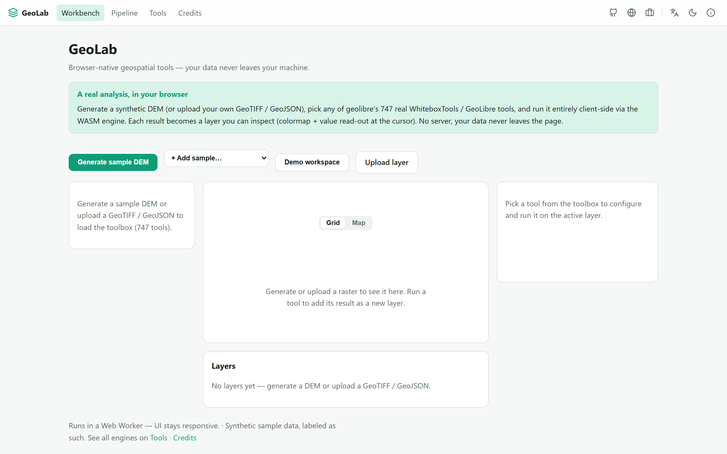
GeoLab is a browser-native, no-install geospatial platform. Load a DEM, GeoTIFF, vector or point cloud (a bundled sample or your own file), run real geoprocessing tools, chain them into a reproducible pipeline, and explore the result on a map or 3D canvas. No server, no Python, no GDAL install, and your data never leaves your machine.
747 real WhiteboxTools / GeoLibre tools, live, via the geolibre WASM engine, in a Web Worker
The architecture (ADR-0059) is multi-engine by design (GDAL, GEOS, Turf, H3, ITK, OpenCV, ONNX land as adapters). The count is only what genuinely runs, never padded.
The WebAssembly ecosystem now has real geospatial engines, but they are fragmented, each its own library. GeoLab aggregates them behind one uniform tool interface, adds its own tools (including a cross-engine comparison: run the same operation through two engines and see the difference), and shows every tool’s source engine, authors and license. A visual node editor turns a workflow into a shareable JSON recipe. It is a research lab in the SimLab / PINN-Lab / QLab family, actively built out and openly labelled as such. Live · source.