
GeoLab, Browser-Native Multi-Engine Geospatial Tool Platform
Published:
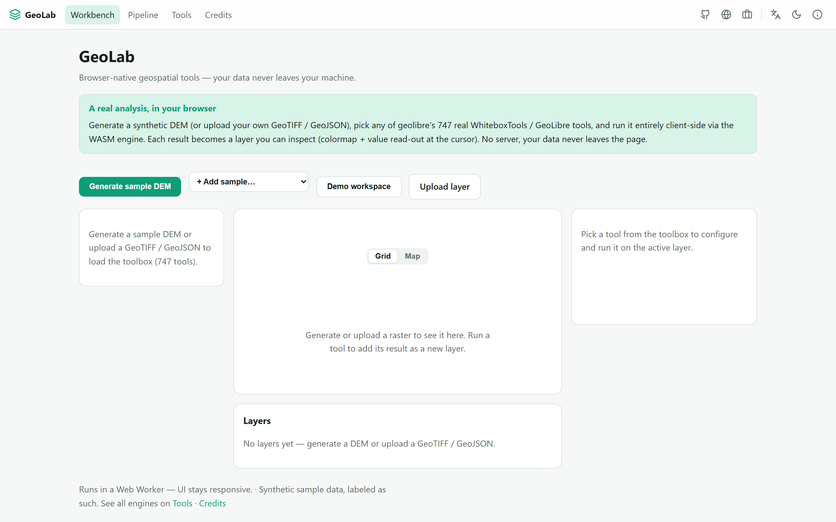
A browser-native, no-install, multi-engine geospatial platform. Load a DEM, GeoTIFF, vector or point cloud (a bundled sample or your own file), run real geoprocessing tools, chain them into reproducible pipelines, and explore the result on a map or 3D canvas. No server, no Python, no GDAL install, and your data never leaves your machine. Live at geolab.fasl-work.com, a CAOS lab in the SimLab / PINN-Lab / QLab family.
Many engines, one interface
The WebAssembly ecosystem has real geospatial engines, but they are fragmented. GeoLab aggregates them behind one uniform tool interface. Live today it runs 747 real WhiteboxTools / GeoLibre tools via the geolibre WASM engine, in a Web Worker so the UI stays responsive. The architecture (ADR-0059) is multi-engine by design: adding an engine is one adapter, and GDAL, GEOS, Turf, H3, mapshaper, ITK-Wasm, OpenCV.js and ONNX Runtime Web land incrementally.
Provenance and tool count
Each result becomes a layer you inspect with a colormap and a value read-out at the cursor. A visual node editor chains tools into a shareable JSON recipe, re-runnable on new data, and every tool shows its source engine, authors and license. The tool count is only ever what genuinely runs, never padded; the sample data is labelled synthetic; and it is openly an actively-built-out lab, not a finished app.